Directions from nearest town: Travel
North through Smithville, Missouri and further for about 4 miles on 169 Highway. Turn right (East) on "W" Highway, and travel
to the bridge over the lake. Keep traveling farther on "W" Highway of a few hundred feet to a gravel parking lot on the right.
From a few feet South this lot, you can go West into Lakeside Speedway, East into T-N-T, or South on the new County walking
trail.
Alternate: Travel further on W to Paradise, turn
right on Paradise Road and continue into "Sailboat Cove." Park in the first spaces on the right (immediately behind the fee
shack), and bike over the hill in front of the cars. The Family Trail is to the right, marked by an orange sign. If the fee
shack is staffed, the County has a park user's fee of $5/day or $20/year (cash).
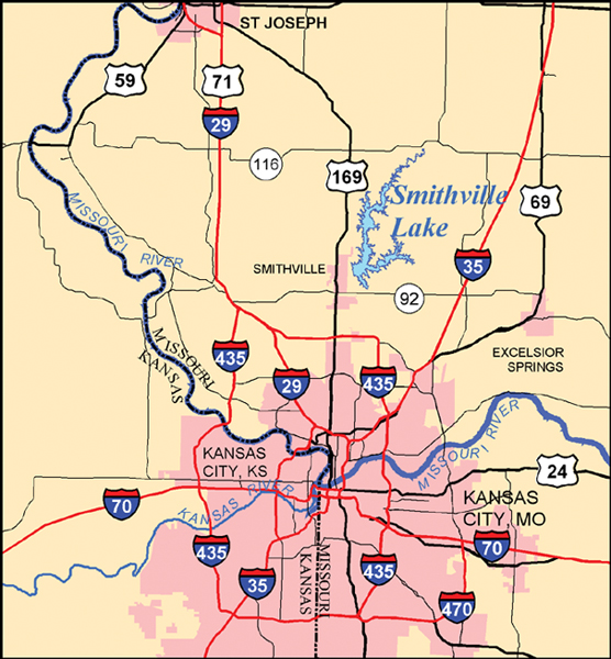
Map to Smithville Lake, MO
Description: Smithville is about ten miles of varied trail. The County
has recently cut their new walking trail through the MTB trail area, providing outstanding access to the singletrack.
The
trails are maintained by volunteers. If you have any comments or questions about the trails or trail conditions -- or want
to help, please contact Neale Shour (neale.shour@gmail.com).
Smithville Lake MTB Trails Map
Earthriders MTB information
Clay County, Missouri Smithville trails information
U.S. Army Corps of Engineers Smithville Webpage
Latest Corps of Engineers Trails Map
Some Smithville, Missouri History:
The history of Smithville has
been established and influenced by the Little Platte River. In 1965 Smithville suffered the worst flood in its history. Fifteen
feet of water and terrific currents rushed through the center of town, washing away businesses and homes that had been there
for years. That was the end of an era for the self-supporting rural farm community. People continued to live here, but they
worked elsewhere. These were hard years for Smithville, but the citizens pulled together to help the town survive. They went
to Washington to get a flood control dam and lake to change the erratic river back into an asset to our community, rather
than an unleashed force of destruction. Smithville Lake opened in 1982, and Smithville is now a thriving, growing community
of some 5,000 people with a very good quality of life.
More information
Printable Corps of Engineers PDF Full Lake Map