Detailed directions and maps to parking locations
for trailrunning in Shawnee Mission Park:
Location:
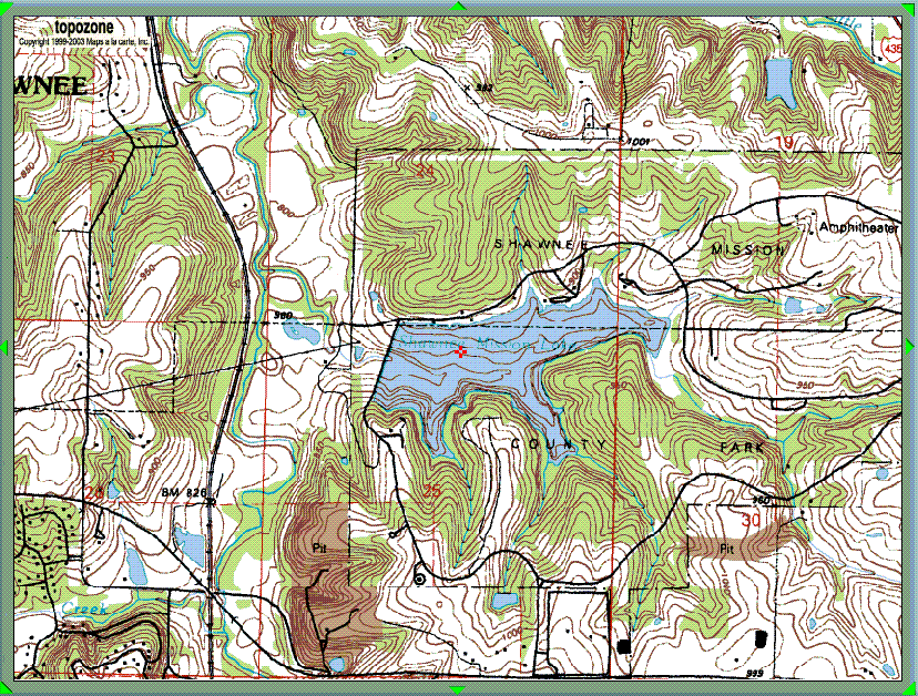
Shawnee Mission Park
7900 Renner Rd, Shawnee, KS
(East of I-435 and north of Leavenworth Rd./K-5 on north 91st
St., Kansas City, Kansas).
SM Park phone number: (913) 888-4713
MTB Trail Closing Info Line: (913) 312-8833
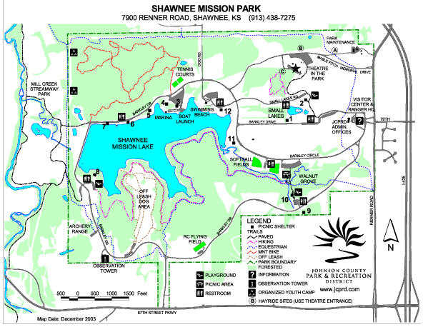
Detailed Directions to Main Park Entrance:
From I-435, take the Midland Drive exit. Head east, take
a right at Renner Rd; travel about 1 minute, take a right at the park entrance.
Detailed Directions to the Midland Streamway Trail
Parking Lot:
From I-435 (West) at Midland Drive, then head west a
couple of miles. The Streamway trail access will be on your left, just before you reach Shawnee Mission Parkway.
Detailed Directions to the "Normal" Parking Spot For
Trailrunning:
From the Park entrance, take a right and contiue on Barkley
Drive until you reach a stop sign; Take a right (on Barkley Circle), continue until you see shelter #7, on the lake
on the left of you; park on the right side of the road, just before the dam.